The Vereda do Urzal (PR2) is a serious cross-island mountain trail from Curral das Freiras to Boaventura, not a casual levada walk and not a route from Encumeada to Curral das Freiras. Its official line climbs from Fajã dos Cardos to Boca das Torrinhas before descending through high mountain vegetation and Laurissilva towards Lombo do Urzal on Madeira’s north coast. In this updated guide: the correct route direction, current access warning, transport planning, weather exposure, trail fees and safer alternatives for less experienced walkers.
Important: PR2 is currently closed
At the time of checking in November 2026, the Institute of Forests and Nature Conservation (IFCN) lists PR2 Vereda do Urzal as closed. Do not treat an old GPX track, a hiking app or an earlier trail report as confirmation that it is walkable. Madeira’s mountain paths can close after storms, landslides, fire risk or maintenance, and closures apply even when the weather looks pleasant at the coast.
Check the official IFCN trail-status list on the morning of your hike, as well as before arranging a taxi transfer. The separate PR1.3 Vereda da Encumeada section between Boca das Torrinhas and Encumeada remains closed too, so this is not currently a valid Encumeada-to-Curral das Freiras crossing.
What the Vereda do Urzal route is like when open
PR2 follows an old route between Madeira’s southern interior and the north coast. The full official trail runs for about 10.3–10.6 km from Fajã dos Cardos, above Curral das Freiras, to Lombo do Urzal in Boaventura. The usual direction is south to north: it begins with a sustained climb to Boca das Torrinhas, then changes into a long descent towards Boaventura. Official walking time is around 4 hours 30 minutes, although fit independent hikers should allow longer for rests, weather delays and transport at the finish.
The trail is often described as “medium” on official listings, but that should not be confused with easy. It is a remote mountain crossing with prolonged climbing, uneven stone and earth surfaces, steep downhill sections and few easy exit options once committed. The terrain can be slippery after rain, while fog and low cloud can quickly reduce visibility around the higher ground.
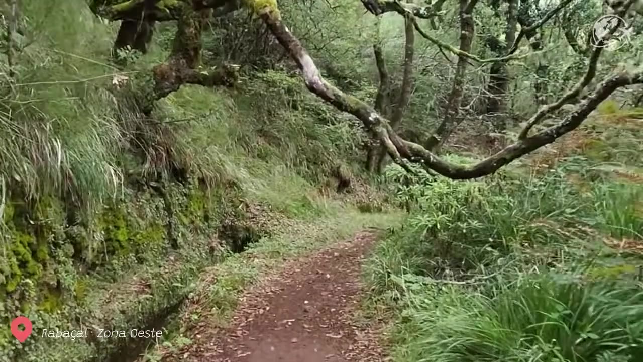
Its reward is a much wilder impression of Madeira than the island’s popular levada paths. Early sections pass introduced vegetation, then give way to native highland plants and Laurissilva forest. At Boca das Torrinhas, the viewpoint opens towards the dramatic peaks surrounding Curral das Freiras, including the central massif around Pico Ruivo.
Direction, elevation and why it is demanding
Walk PR2 from Curral das Freiras to Boaventura if you want to tackle the principal ascent while your legs are fresh, then finish with the long northern descent. The official route reaches a high point of about 1,450 metres and drops to roughly 519 metres at its lowest point, so it involves substantial climbing and descending rather than level walking beside a water channel.
Going in the opposite direction is possible only when the route is officially open, but it reverses the character of the day: the climb from Lombo do Urzal is long and persistent, while the eventual descent towards Curral das Freiras can punish tired knees. Neither direction should be chosen simply because it looks short on a map.
Do not add the PR1.3 connection towards Encumeada or Pico Ruivo without independently confirming that every required section is open. A junction on a trail map is not a guarantee of a permitted or safe through-route. The best plan is a single, fully open PR route with a clear start, finish and pickup arrangement.
| Practical fact | Details |
|---|---|
| Official route | PR2 Vereda do Urzal: Curral das Freiras to Boaventura |
| Distance | 10.3 km on the current IFCN listing |
| Typical duration | About 4 hours 30 minutes |
| Highest / lowest point | Approximately 1,450 m / 519 m |
| Terrain | Mountain path with a sustained ascent, then a long descent; uneven and potentially muddy or slippery |
| Access fee when open | €4.50 for visitors aged over 12; under-13s are exempt, but registration rules still apply |
| Booking | Reserve through the official SIMplifica portal when the trail is available |
| Status checked | Closed in November 2026; always recheck before travelling |
Transfers and how to organise the one-way walk
PR2 is a point-to-point hike, which makes transport the main practical challenge. Curral das Freiras is reachable from Funchal by road and public bus, but the finish at Lombo do Urzal is a quiet rural area above Boaventura, where onward connections are limited. A rental car left at the start does not solve the problem unless you have a second vehicle or someone collecting you.
When PR2 reopens, the simplest independent arrangement is usually a pre-booked taxi or private transfer from Lombo do Urzal at a realistic finish time. Confirm the pickup point, phone coverage and what to do if you finish early or late. Mobile signal can be unreliable on the trail itself, so do not wait until the final descent to arrange transport.
For visitors without a car who prefer straightforward bus access, regular timetables and shorter walks, see our guide to Madeira hikes without a car. PR2 is better saved for a day when the route is fully open and transfers are firmly in place.
Weather, footwear and safety planning
Mountain weather on this route can bear little resemblance to conditions in Funchal. The upper slopes are exposed to wind, cloud and sudden rain, while the northern descent may remain wet even after a dry morning elsewhere. Check Madeira’s wider seasonal patterns in our guide to Madeira’s wettest and driest places, but make the final decision using the official trail status and the forecast for the central mountains.
Wear broken-in hiking boots or trail shoes with dependable grip; smooth-soled trainers are not suitable for the combination of loose stone, wet soil and lengthy descent. Carry a waterproof outer layer, warm insulating layer, charged phone, offline map, food and more water than you would take on a short levada. Start early, tell someone your plan and turn back before conditions deteriorate rather than trying to “push through” cloud, wind or fatigue.
- Check status twice: look at the IFCN page when planning and again immediately before departure; a booking is not permission to ignore a closure.
- Book a fixed pickup: agree a location and backup contact with your Boaventura transfer driver before starting.
- Pack for the high point: conditions near Boca das Torrinhas may be cold and wet even when Curral das Freiras is warm.
- Protect your knees: trekking poles are especially useful for the sustained descent towards Lombo do Urzal.
- Do not rely on an Encumeada connection: PR1.3 closures can make routes shown by hiking apps unsafe or illegal to attempt.
- Choose an easier day if unsure: save PR2 for experienced, well-prepared walkers rather than making it your first Madeira hike.
Better alternatives for less experienced hikers
If the appeal is Laurissilva scenery rather than a demanding mountain crossing, choose a shorter, officially open route with simpler return logistics. The Balcões walk from Ribeiro Frio is a gentle out-and-back option, while the accessible sections around Queimadas Forest Park offer a more relaxed introduction to Madeira’s woodland landscapes. Our Queimadas Forest Park guide explains how to visit this popular forest base.
For a more ambitious but still clearly organised mountain experience, wait until the relevant official paths reopen and select a route that is fully open from start to finish. Never substitute unofficial shortcuts, fire tracks or damaged paths for a closed PR trail.
Frequently asked questions
Is Vereda do Urzal PR2 an Encumeada to Curral das Freiras hike?
No. PR2 officially runs between Curral das Freiras and Boaventura. It meets the PR1.3 route at Boca das Torrinhas, but the PR1.3 section towards Encumeada is closed at the time of writing.
How difficult is the Vereda do Urzal PR2 hike?
It is officially graded medium, but it is demanding for many visitors because of its sustained ascent, long descent, mountain exposure, uneven terrain and remote one-way logistics.
Do I need to pay for PR2?
When the trail is open and available for booking, visitors aged over 12 pay €4.50. Reservations are made through SIMplifica, while exemptions and registration requirements are set by IFCN.
Can beginners walk Vereda do Urzal?
It is not the best first hike in Madeira. Beginners should choose a shorter open route with easier navigation, less elevation change and reliable return transport, or walk with an experienced qualified guide.
Facts and prices verified in November 2026. Before hiking, confirm the latest official trail status and reservation availability. For broader planning, read our guides to Madeira hiking fees in 2026, Madeira weather by month and Madeira hiking and levadas.