The Levada do Rei PR18 hike is one of Madeira’s finest green walks: a largely level 10.6 km return route through farmland, forest and Laurissilva to the secluded Ribeiro Bonito. Starting at Quebradas in São Jorge, it is a rewarding choice for walkers who want dense nature without a major mountain ascent. In this updated guide: learn what the trail is really like, how to reach the start, what to expect in wet weather, and whether the full out-and-back walk is right for your fitness level.
Why walk Levada do Rei PR18?
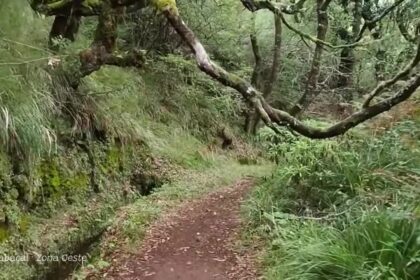
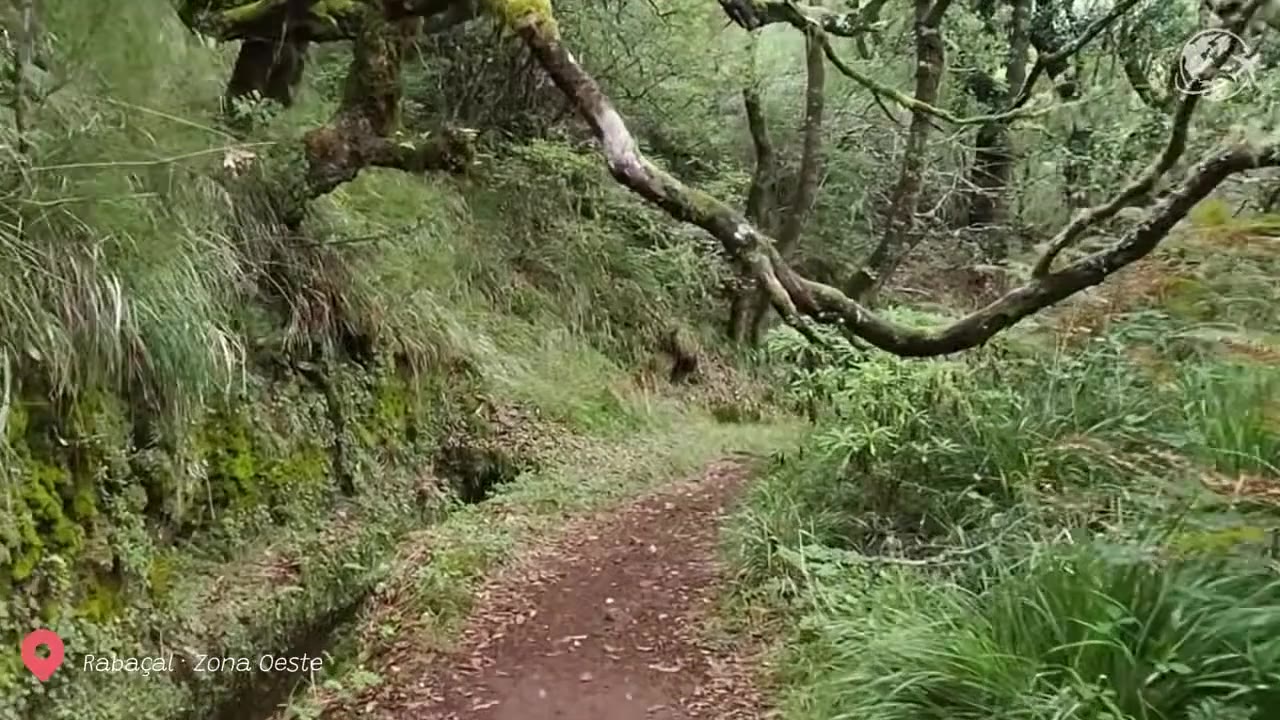
Levada do Rei follows an irrigation channel through the humid north of Madeira, where water, shade and deep-green vegetation define the experience. The route begins near the wastewater treatment plant at Quebradas, above São Jorge, and initially passes cultivated terraces and exotic woodland. As the walk continues, the landscape becomes increasingly wild and enclosed.
The highlight is Ribeiro Bonito, the official end point of PR18. This sheltered ravine feels distinctly different from the first section of the walk: mossy rock walls, ferns, laurel trees and the sound of running water create a wonderfully cool, enclosed Laurissilva setting. It is not a waterfall hike in the dramatic sense, but it is among the best walks for appreciating the texture and atmosphere of Madeira’s UNESCO-listed native forest.
Unlike exposed routes such as Ponta de São Lourenço, PR18 is a shaded north-coast levada walk. That makes it particularly appealing on warmer days, although the same moisture means wet ground is common throughout the year.
Route, distance and difficulty: is Ribeiro Bonito suitable for you?
The official PR18 route is 5.3 km each way, making 10.6 km there and back. Madeira’s tourism authority estimates around 3 hours 30 minutes in total and rates it as moderate. The elevation change is modest, with the route staying broadly between 535 and 573 metres, so this is not a steep cardio challenge.
However, “moderate” should not be mistaken for effortless. The narrow levada-side path has uneven stones, roots, damp patches and occasional muddy stretches. There are places where you need to watch your footing rather than your views, especially after rain. The main physical test is the distance and the return walk: once you reach Ribeiro Bonito, you must retrace the same 5.3 km to Quebradas.
For walkers with reasonable stamina, stable footwear and confidence on narrow paths, the full walk is very manageable at an unhurried pace. It is less suitable for anyone with poor balance, a strong fear of slippery edges or difficulty walking for several hours. If conditions feel too wet or tiring, turn around early; the forest is attractive long before the endpoint, and there is no need to force the complete route.
What to expect on the trail
PR18 is not a high-altitude summit route and it does not have the long, pitch-dark rock tunnels found on some Madeira levadas. Instead, expect natural “tunnels” created by overhanging branches, climbing plants and dense foliage. These shaded passages are one of the trail’s charms, but they can remain damp even when coastal weather looks dry.
The route is mostly a single track beside the levada, with water on one side and vegetation or a slope on the other. In places, the path is broad and easy; elsewhere it narrows and becomes muddy. Walk steadily, let faster hikers pass at wider points, and keep children close. Do not step into the levada or rely on its edges for balance.
At Ribeiro Bonito, take time to enjoy the forest quietly rather than treating it as a quick turnaround point. This is a sensitive, water-rich environment. Stay on the marked path, avoid climbing around the ravine, and carry all rubbish back with you.
| Fato prático | Details |
|---|---|
| Official route | PR18 – Levada do Rei |
| Start / finish | Quebradas, São Jorge / Ribeiro Bonito |
| Distância | 5.3 km each way; 10.6 km return |
| Typical duration | About 3 hours 30 minutes |
| Official difficulty | Moderate |
| Faixa de altitude | 535 m to 573 m |
| 2026 access fee | €4.50 for visitors over 12; children aged 12 and under are exempt |
| Booking and trail status | Check and pay in advance through the official SIMplifica portal; confirm the latest status with IFCN before leaving |
How to get to Quebradas in São Jorge
A rental car is the simplest way to reach the PR18 trailhead. Follow the north-coast roads towards São Jorge, then use navigation for “Levada do Rei” or the Quebradas wastewater treatment plant (ETAR de São Jorge). The final approach is on local roads, so allow extra time rather than relying only on an optimistic journey estimate.
There is limited informal parking near the start. Arrive early, park only where you are not blocking local access or service vehicles, and do not assume there will be space at peak times. This is an out-and-back route, so there is no need for a second car or a return transfer once you have parked.
Public transport can work only with careful planning. Buses serve São Jorge and the wider Santana area, but the trailhead at Quebradas is not as convenient for bus users as the better-known walks around Ribeiro Frio or Rabaçal. Check the current timetable on the official SIGA transport timetable, then be prepared for a taxi connection or an additional walk from the nearest suitable stop. For most visitors without a car, arranging a taxi for both directions is the more straightforward option.
Weather, footwear and access planning
North-coast weather changes quickly. Low cloud, drizzle and recent rain can make PR18 considerably muddier than the forecast in Funchal suggests. A waterproof layer, grippy walking shoes or boots, water and a snack are sensible essentials. Walking poles are optional but useful for anyone who wants added stability on slick sections.
Check the official IFCN trail-status page on the morning of your hike, not simply when building your itinerary. Madeira trails may close or be restricted because of weather, landslides, forestry work or safety inspections. In 2026, access to classified walking routes is managed through the SIMplifica system, with capacity limits applying to booking slots.
For another gentle forest-based option, the short Levada dos Balcões (PR11) is easier and much shorter. If you want a longer, more tunnel-heavy forest adventure when conditions allow, compare this walk with Levada do Caldeirão Verde (PR9).
Insider tips for Levada do Rei
- Comece cedo: The path feels quieter in the morning, parking is easier, and you have more time to walk carefully after rain.
- Book before setting off: Complete the official trail-access process in advance rather than relying on mobile signal at Quebradas.
- Wear footwear with grip: Trainers with smooth soles are a poor choice when the levada path is muddy or leaf-covered.
- Do not rush the final section: The approach to Ribeiro Bonito is where the trail becomes wetter, narrower and most atmospheric.
- Pack a light rain layer: The north coast and forest interior can be damp even when Funchal is sunny.
- Respect the return distance: Save enough energy, water and daylight for the 5.3 km walk back to the car.
Perguntas frequentes
How long is the Levada do Rei PR18 hike in Madeira?
The official route is 5.3 km from Quebradas to Ribeiro Bonito, or 10.6 km as a return hike. Allow around 3 hours 30 minutes, plus time for photographs and breaks.
Is Levada do Rei difficult?
It is officially rated moderate. There is little major climbing, but the path can be narrow, uneven and muddy, and the full route requires a 10.6 km return walk.
Do I need a torch for Levada do Rei?
A torch is not normally essential for PR18. The route is known for leafy, vegetation-covered passages rather than long dark tunnels. Still, a phone light is a sensible backup on any Madeira hike.
Can I hike Levada do Rei without a car?
It is possible, but less convenient than by car. Public buses serve the São Jorge area, while the Quebradas trailhead may require extra walking or a taxi connection. Check the current SIGA timetable before committing to the plan.
Facts and prices verified in August 2026. For more route ideas, see our guides to Rabaçal, 25 Fontes and Risco Waterfall (PR6), Floresta de Fanal e o best hiking trails and levadas in Madeira.