The PR5 Vereda das Funduras Madeira hike is one of the island’s best choices for walkers seeking woodland, wide eastern views and a largely downhill route without the exposed ridges of Madeira’s high mountains. Starting at Portela and finishing in the rural settlement of Maroços, this official trail combines forest tracks, eucalyptus stands, native Laurissilva and traditional agricultural terraces. In this updated guide: route direction, distance and terrain, transport options for this one-way walk, the 2026 trail-access fee and practical advice for a relaxed day in eastern Madeira.
Why walk PR5 Vereda das Funduras?
PR5 is a quieter alternative to Madeira’s headline hikes. There are no dramatic cliff-edge paths, long tunnel passages or sustained high-altitude exposure here. Instead, the trail moves gradually from the airy Portela viewpoint through the green uplands above Machico, before descending towards the cultivated slopes of Maroços.
The walk begins with one of the route’s strongest moments: the view from Miradouro da Portela across the north coast towards Porto da Cruz and Faial. Penha d’Águia, the unmistakable volcanic outcrop between the two coastal villages, remains a striking landmark for much of the early route. It is an especially rewarding choice on a day when the highest peaks are in cloud but the east of the island is clearer.
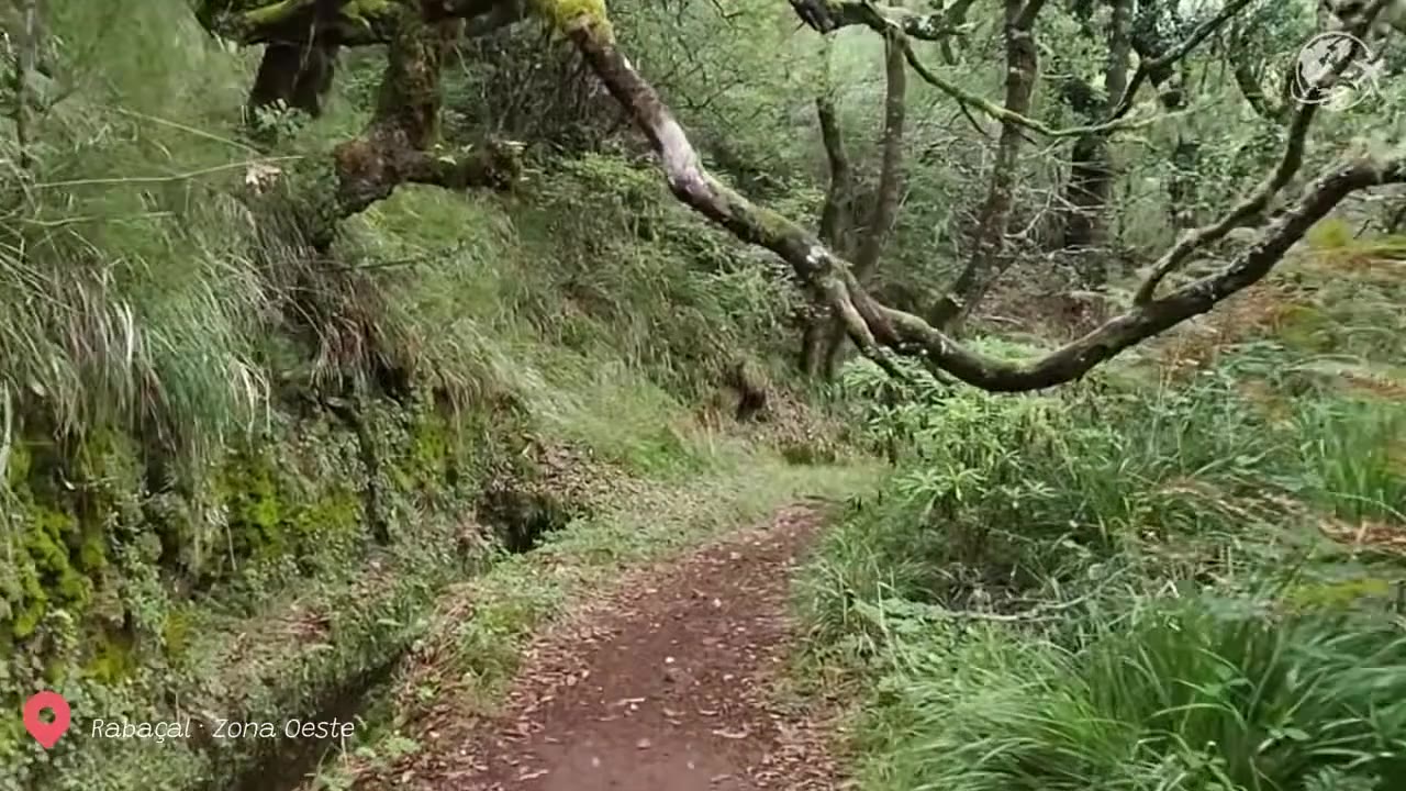
After the opening views, the atmosphere changes quickly. A broad forest road leads through the Serra das Funduras, with eucalyptus woodland and damp, mossy vegetation creating a cooler, more sheltered feel. The marked footpath then enters indigenous Laurissilva forest, part of a Natura 2000 protected area that supports Madeira’s endemic plants and wildlife.
This is not an entirely flat levada stroll: it is a moderate hike with uneven ground and a long descent. But for confident walkers with decent footwear, it is considerably less intimidating than the island’s major summit routes. If you enjoy quiet woodland walks, you may also like the Levada do Cedros (PR14) near Fanal, another route with a strong Laurissilva character.
The route: Portela to Maroços is the sensible direction
The official PR5 route runs for 8.7 km from Miradouro da Portela to Maroços and is estimated at around three hours. Although the route has rolling sections, walking in this direction makes the overall experience easier: the official maximum altitude is 624 metres at the Portela end, while the minimum is 186 metres near Maroços.
For most independent walkers, Portela to Maroços is therefore the recommended direction. You start with the viewpoint while legs are fresh, tackle the forest road early, then follow the narrow woodland path and finish with a more pronounced descent through terraces and scattered houses. Walking it in reverse means a longer uphill day and is best reserved for walkers deliberately looking for the climb.
From Portela, the first section follows the Serra das Funduras forest road. This part is wide and generally straightforward, though it can be muddy after rain and loose gravel can make the descent slippery. You will pass Casa das Funduras, a forestry support building. From this area, there is an optional diversion towards the Larano viewpoint, where the outlook opens towards Machico Bay.
The signed PR5 then leaves the road and enters the forest proper. Expect a narrower, earth-and-stone path under dense greenery, with roots, wet patches and occasional low branches. There are no facilities along the central part of the trail, so bring water and any snacks you want before leaving Portela.
The final stretch feels distinctly rural. The forest gives way to cultivated terraces, smallholdings and the traditional patchwork of the Maroços landscape. Do not expect a dramatic summit finish; the appeal is the gentle transition from upland woodland to a lived-in agricultural village.
| Official route | PR5 – Vereda das Funduras |
| Start / finish | Miradouro da Portela / Maroços |
| Distancia | 8.7 km |
| Official walking time | About 3 hours |
| Dificultad | Moderate |
| Maximum / minimum altitude | 624 m / 186 m |
| 2026 visitor access fee | €4.50 for visitors over 12; children aged 12 and under are exempt |
| Reservas | Advance registration and reservation through the regional SIMplifica system are required |
| Best direction | Portela to Maroços for the overall descent |
Getting to Portela and back from Maroços
A hire car is the simplest way to organise PR5, but this is a one-way route, so do not leave your vehicle at Portela unless you have arranged a return transfer. The most convenient self-drive solution is usually a taxi transfer from Maroços back to Portela after the walk, or a pre-arranged pick-up at the finish.
Portela is reached from the east of Madeira, above Machico and Porto da Cruz. Allow extra time for the final mountain roads, which are winding and may be misty even when the coast is sunny. Arrive early enough to park, check the weather and begin before the forest becomes too damp under later cloud.
Public transport is possible but needs more planning than it does for walks beginning in Ribeiro Frio or Rabacal. Madeira’s SIGA network includes a Machico–Maroços service, while the regional network also has services running via Portela. Timetables and route numbers have been updated during 2026, so use the official SIGA journey planner for your exact travel date rather than relying on an old timetable or a route number found in a guidebook.
A practical bus-based plan is to reach Portela first, walk downhill to Maroços and then use the local connection back towards Machico, where onward buses are more frequent. Check the final available departure before you set out: rural services can be limited, particularly at weekends and on public holidays. For a wider itinerary using the same side of the island, see our Madeira East Coast day trip guide.
Bookings, weather and what to carry
PR5 is a classified walking route managed by Madeira’s Institute of Forests and Nature Conservation. In 2026, visitors must register and reserve their route access through the SIMplifica portal. The individual-trail fee for visitors over 12 is €4.50. Madeira residents, children aged 12 and under, and certain visitors with documented disability exemptions are not charged, but registration and booking requirements still apply.
Always check the official trail-status page on the morning of your hike. Madeira’s paths can close temporarily after heavy rain, wind, landslides, forest work or other safety issues. A route listed as open can still be wet and slippery in shaded woodland, so take the conditions seriously.
Wear proper walking shoes with grip rather than trainers with smooth soles. A lightweight waterproof layer is useful in every season; Portela’s elevation means it can feel cooler and cloudier than Machico. Take at least enough water for three hours, food, sun protection and an offline map or charged phone. There are no exposed mountain traverses, but this remains a rural trail rather than a paved park walk.
Insider tips for a better PR5 walk
- Start at Portela, not Maroços: the route is far more enjoyable as a predominantly downhill walk, especially after rain.
- Do not skip the Portela viewpoint: arrive a little early to enjoy the view over Porto da Cruz, Faial and Penha d’Águia before entering the trees.
- Keep the Larano viewpoint diversion optional: it is worthwhile in clear weather, but skip it if cloud is closing in or you need to catch a bus from Maroços.
- Book before travelling to the trailhead: registration and access reservation are part of the current management system for official PR routes.
- Expect damp ground under the canopy: the Laurissilva section can stay muddy and slippery long after rain has stopped on the coast.
- Arrange your finish before you begin: save a local taxi number or check the SIGA timetable for Maroços, as there is no regular transport hub at the trail end.
Preguntas frecuentes
Is PR5 Vereda das Funduras suitable for beginners?
It is suitable for active beginners who are comfortable walking for around three hours on uneven natural paths. The Portela-to-Maroços direction reduces the uphill effort, but sturdy footwear and basic hill-walking confidence are still important.
Is the PR5 route exposed or scary?
No. PR5 is mainly a forest and rural trail, without the dramatic ridge exposure associated with Madeira’s high mountain routes. There may be muddy, narrow or uneven sections, but it is a gentler choice for walkers who dislike steep drop-offs.
Do I need to pay to walk Vereda das Funduras?
Yes, visitors over the age of 12 pay the 2026 individual-route fee of €4.50. You must also register and reserve access through the SIMplifica system before walking. Children aged 12 and under are exempt from the fee.
Can I walk PR5 after rain?
Only if the official trail status confirms that it is open and conditions are safe. The woodland can be particularly wet, muddy and slippery after rain, so postpone the hike if heavy weather is forecast or if you are not equipped for wet ground.
Facts and prices verified in September 2026. Before setting out, check Madeira’s official trail-status and SIMplifica booking information, as access conditions can change. For more route-planning advice, read our guide to Madeira hiking trail closures and fees, compare this forest walk with the Levada do Castelejo hike (PR16), or plan a bigger summit day with Pico Ruivo from Achada do Teixeira (PR1.2).