The Levada do Castelejo is a peaceful 11.8-kilometre return walk above Porto da Cruz, combining cultivated terraces, views of Penha d’Águia and a rewarding finish in humid Laurissilva forest. It is a strong choice for walkers looking beyond Madeira’s busiest headline levadas, but it is important to clarify one detail: this is not PR16. PR16 is Levada Fajã do Rodrigues near São Vicente, while Levada do Castelejo is an unclassified local route on the north-east side of the island. In this updated guide: where the walk starts, what the route feels like, how to get there, what to pack and how to pair it with nearby north-coast stops.
What is the Levada do Castelejo walk?
Levada do Castelejo follows an old irrigation channel from the rural outskirts of Porto da Cruz towards its water source inland. It is a return route rather than a point-to-point PR trail, so most walkers simply follow the levada as far as the forested upper section, then return by the same path.
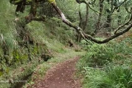
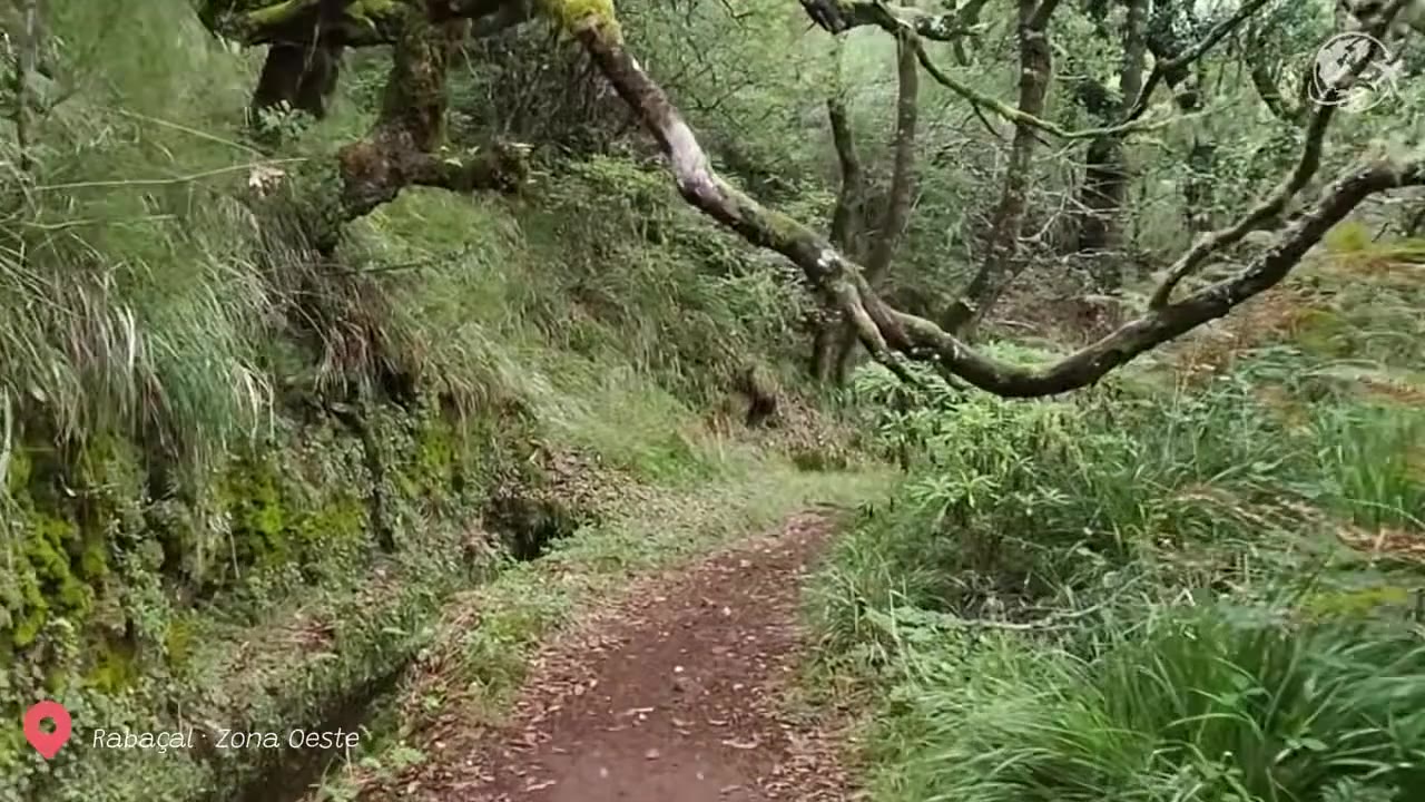
The route begins amid small agricultural plots and local homes, with open views towards the Atlantic and the unmistakable outline of Penha d’Águia. As you progress inland, the setting becomes greener, shadier and noticeably wetter. Vegetable gardens and fruit-growing land gradually give way to ferns, laurels and other vegetation associated with Madeira’s Laurissilva forest.
The official tourism information for Machico describes the route as 11.8 kilometres return, with an estimated walking time of around 4 hours 30 minutes. That timing is sensible if you walk steadily, pause for photographs and take care on damp sections. It is not a short stroll, even though much of the levada itself is relatively level.
Why choose it over Madeira’s famous levadas?
For many visitors, the appeal of the Levada do Castelejo hike Madeira is its quieter, more local character. It does not have the formal infrastructure, high visitor numbers or guaranteed maintenance regime of a major classified PR route. In return, it offers a more intimate look at the agricultural landscape that still shapes this part of the island.
This is a good walk for travellers who have already done the better-known routes around Rabaçal or Ribeiro Frio, or who want a lower-key day close to Porto da Cruz. The transition between farmland and native forest is especially satisfying: it gives the walk more variety than a route that stays entirely in woodland.
Do not expect dramatic exposed cliffs, major waterfalls or a polished visitor centre. The reward is subtler: flowing water, deep greens, birdsong, traditional cultivation and a real sense of moving from the coast towards Madeira’s wetter interior.
Route conditions, gradients and what to expect
The main levada path is generally regular and has little exposure, but this should not be mistaken for an entirely easy walk. The full route has a moderate length, uneven edges in places and conditions that can become slippery after rain. Moss, wet leaves and muddy patches are common once you reach the more enclosed forest section.
The route is usually described as having low vertigo exposure. However, it is not an official PR trail with a live government-managed open/closed status, so conditions can change after heavy rain, wind or minor landslides. There is no substitute for assessing the path at the start and turning back if it does not feel safe.
Wear proper walking shoes with grip rather than trainers with smooth soles. A light waterproof layer is worthwhile in every season, particularly because the inland end of the route can be damp even when Porto da Cruz is bright and warm. Take water and food with you: there are no facilities at the forest end.
Keep your plans flexible. The regional forestry authority advises hikers to check weather conditions, avoid walking in severe weather, carry food and water, use suitable clothing and finish before dark. Those principles matter even more on an unclassified route such as this one.
| Ubicación | Above Porto da Cruz, on Madeira’s north-east coast |
| Route type | Out and back |
| Distancia | 11.8 km return |
| Typical duration | About 4 hours 30 minutes |
| Official difficulty | Grade 3 in the Visit Machico route guide |
| Terrain | Regular levada path, agricultural lanes and damp forest sections |
| Rango de altitud | Approximately 266 m to 387 m |
| IFCN PR reservation | Not applicable: Levada do Castelejo is not a current IFCN-managed PR trail |
| Best access | Car or taxi to the Porto da Cruz/Caminho do Moinho area |
How to get to the start from Funchal, Machico and Porto da Cruz
A car is the most practical way to reach Levada do Castelejo. From Funchal, allow roughly an hour depending on traffic and your exact starting point; the drive follows the expressway east before climbing or continuing around the north-east coast towards Porto da Cruz. From Machico, the journey is considerably shorter.
The usual access is from the upper side of Porto da Cruz, around Caminho do Moinho. Parking is informal and limited to roadside space, so do not block driveways, agricultural entrances or narrow lanes. Arriving earlier gives you more room to park considerately and more time to complete the route in daylight.
Public transport can get you to Porto da Cruz, but it is less convenient for this particular hike because the start is above the village and services may be infrequent. If you are not hiring a car, a taxi transfer from Machico or Funchal is the simpler option. Arrange a return collection in advance if you do not want to walk back down into the village after the hike.
Before setting out, check the current IFCN walking advice and trail information. Although this walk is outside the managed PR network, the official safety guidance and weather checks remain essential.
Make a north-east Madeira day of it
Levada do Castelejo works particularly well as the active part of a relaxed north-east itinerary. Begin in Porto da Cruz, walk the levada in the morning, then return to the coast for lunch and a look at the seafront beneath Penha d’Águia.
From there, drive west towards Faial for the views at Miradouro do Guindaste, where the north coast opens out beneath the glass viewing platform. If you prefer another substantial walk on a different day, the nearby Vereda do Larano offers the opposite experience: open coastal cliffs, sea views and more exposure.
For a classic official levada route in the same broad north-east area, consider planning Levada do Furado (PR10) separately. It is longer and requires transport planning at each end, while Castelejo is easier to organise as a self-contained return walk.
Insider tips for Levada do Castelejo
- Do not search for PR16 at the trailhead. PR16 is Levada Fajã do Rodrigues, not Levada do Castelejo; use Porto da Cruz and Caminho do Moinho in your navigation instead.
- Start early after wet weather. This gives you more daylight and lets you assess slippery sections before conditions worsen later in the day.
- Turn around whenever you wish. The route is out and back, so shorter versions still give you agricultural scenery and levada views.
- Bring a waterproof layer even in summer. The upper forest is humid and rain can arrive quickly on Madeira’s north-east slopes.
- Respect working land. Keep gates as you find them, stay on the obvious path and do not step into cultivated plots for photographs.
- Save Porto da Cruz for afterwards. A meal or coffee in the village is a pleasant reward after several hours on the levada.
Preguntas frecuentes
Is Levada do Castelejo the same as PR16?
No. Levada do Castelejo is an unclassified local route near Porto da Cruz. PR16 is Levada Fajã do Rodrigues, an official IFCN-managed trail near São Vicente.
Do I need to pay or reserve Levada do Castelejo?
It is not part of the current IFCN-managed PR trail reservation system. There is no IFCN PR booking for this route, but you should still check local access and conditions before walking.
Is Levada do Castelejo suitable for beginners?
Confident beginners with suitable footwear and a reasonable level of fitness can enjoy it, but the full return distance is substantial and the path may be wet or uneven. Turn back early if you are unsure.
Can I combine it with São Roque do Faial?
You can visit São Roque do Faial as part of a wider north-east driving day, but the standard Levada do Castelejo walk starts and finishes above Porto da Cruz. Do not attempt unmarked connections towards São Roque do Faial without reliable local knowledge.
Facts and prices verified in August 2026. For more north-east planning, see our guides to Miradouro do Guindaste, Vereda do Larano y Levada do Furado (PR10).